Vermont-New Hampshire Land-Based Wind Speed at 100 Meters
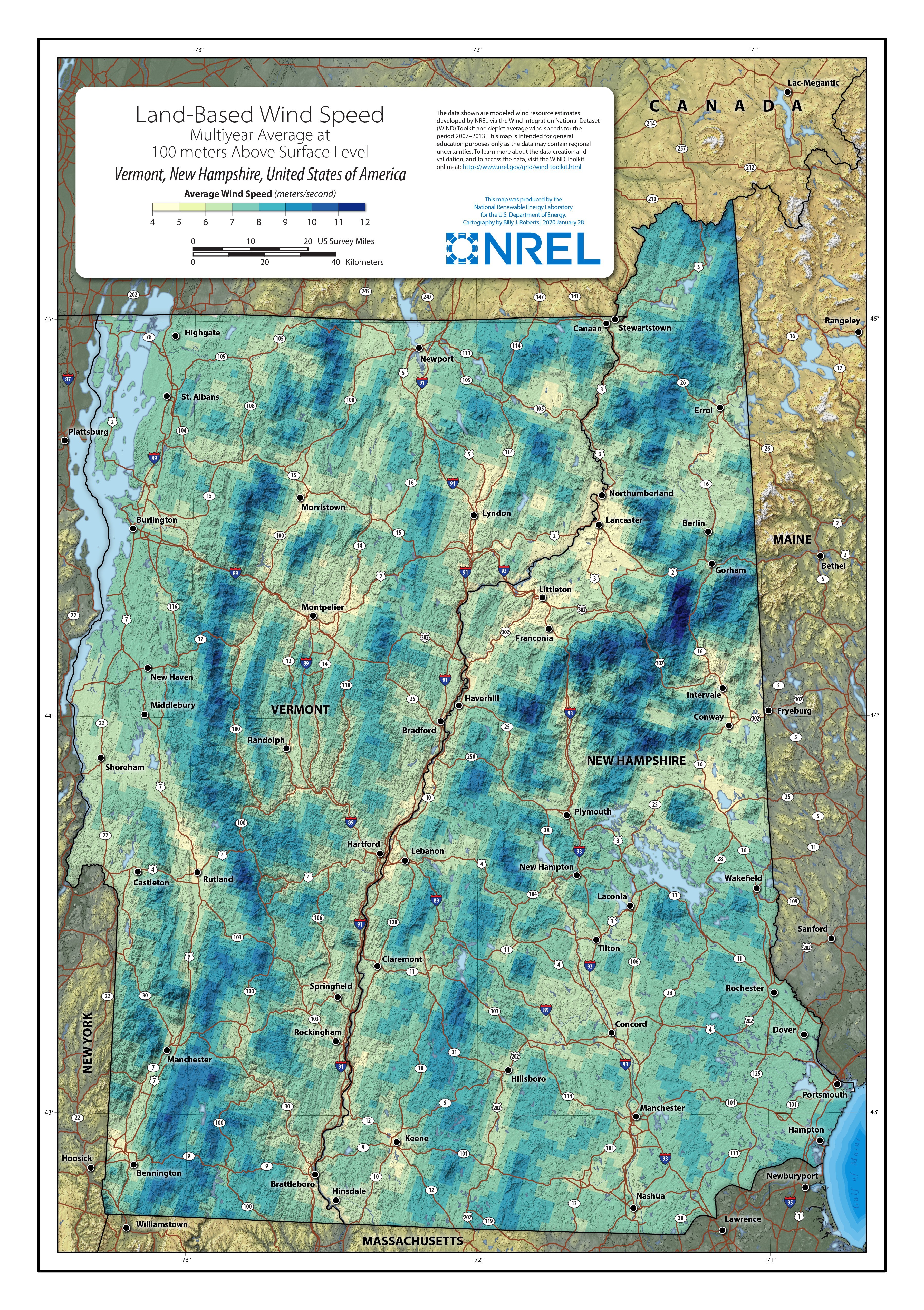
This map was produced by the U.S. Department of Energy’s (DOE's) National Renewable Energy Laboratory (NREL) using modeled wind resource estimates developed by NREL via the Wind Integration National Dataset (WIND) Toolkit and is intended for general educational purposes only. While these 100-meter wind speed maps can provide a general indication of good or poor wind resources, they do not provide a resolution high enough to identify local site features such as complex terrain, ground cover, and data needed prior to siting a wind project.
Watch a video tutorial for understanding land-based and offshore wind resource maps. See more wind resource maps, download wind datasets from NREL, and learn more about wind resource assessment and characterization on DOE’s website.